13 areas mapped and compared — history, who lives there, rent bands, cafes, and the verified drive time between every single pair. Then, for each, the honest verdict for a working vegetarian family of four arriving late August.
Ratings + place IDs: Google Places, checked 2026-08-15 — 46 distinct places, every one resolved through tools/gmaps.py, none hand-written (several are cross-listed in more than one area's card, so the count of places is lower than the count of listings) ·
Drive times: Google Routes API, 78 calls, 2026-08-15 — raw minutes in typical traffic, not padded by the weekend family formula, which is calibrated on Krabi legs and meaningless for a 10-minute city hop ·
Rent bands are indicative and sourced per area — verify before signing.
The core, mapped
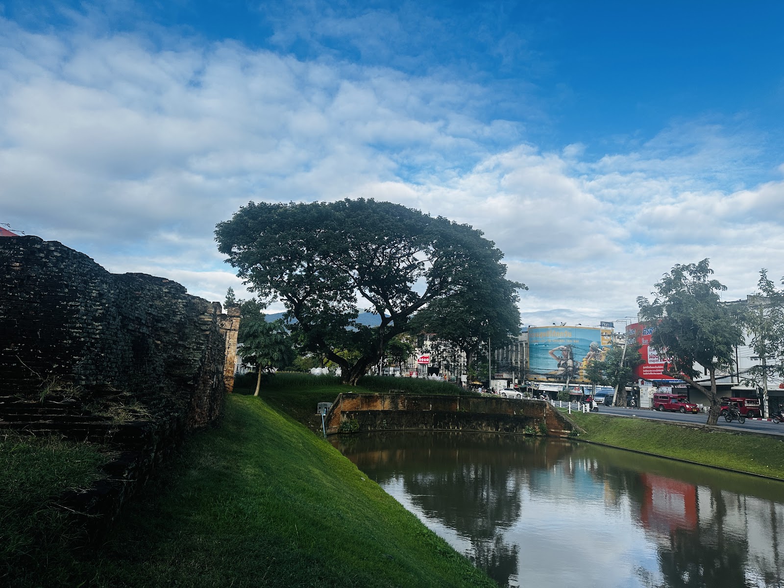
The ten inner-city areas. Everything here is within 25 minutes of everything else, and most of it within 15. The dashed square is the Old City moat; the blue line is the Ping. Click any pin to jump to that area.
Inner cityOuter valleyOld City moatSchematic — positions are true lat/lng, roads are not drawn
The wider valley
Zoom out and the three outer areas appear — and the scale changes completely. Mae Rim to Hang Dong is 47 minutes, longer than any inner-city pair by a factor of three.
Every pair, in minutes
Raw driving minutes in typical traffic, both directions treated as equal — an approximation, but within a couple of minutes at this scale. Hover a cell for the distance in km.
from ↓ to →
Old City
Nimman
Santitham
Chang Phueak
Riverside
Chang Klan
Wua Lai
Suan Dok
Jed Yod
Wat Umong
Hang Dong
Mae Rim
San Kamphaeng
Old City
—
18
10
4
12
12
13
10
16
19
35
29
34
Nimman
18
—
10
10
14
17
15
7
4
13
29
22
26
Santitham
10
10
—
8
13
14
15
14
8
22
35
22
28
Chang Phueak
4
10
8
—
9
10
9
8
12
17
29
24
29
Riverside
12
14
13
9
—
5
21
16
14
24
32
28
25
Chang Klan
12
17
14
10
5
—
18
17
18
25
29
33
28
Wua Lai
13
15
15
9
21
18
—
8
19
16
31
31
26
Suan Dok
10
7
14
8
16
17
8
—
17
10
26
35
31
Jed Yod
16
4
8
12
14
18
19
17
—
19
33
22
25
Wat Umong
19
13
22
17
24
25
16
10
19
—
22
31
32
Hang Dong
35
29
35
29
32
29
31
26
33
22
—
47
32
Mae Rim
29
22
22
24
28
33
31
35
22
31
47
—
31
San Kamphaeng
34
26
28
29
25
28
26
31
25
32
32
31
—
<10 same side of town10–19 easy hop20–29 a decision30+ half the day if you do it twice
The short version, for your late-August week
Base in the Old City if you want the week to need no planning — walkable, the best vegetarian coverage in the city, a park for the kids. You'll pay roughly 30% over Santitham for it.
Base in Santitham if the travel profile's own target matters more — a real Thai neighbourhood, domestic rather than international, bottom of the price band, 10 minutes from everything. This is where the existing Chiang Mai plan already assumes you are.
Nimman is the fallback, not the pick. It is the safest bet for an uninterrupted work day and the clearest failure of "off the beaten path."
Skip Chang Klan / Night Bazaar as a base. One evening at the market, then leave.
Hang Dong and Mae Rim are reconnaissance, not this trip — they answer "could we live here for a year," which is the Goa-shaped question.
Two health flags: Riverside/Wat Ket and the Mae Rim valley both carry real mosquito exposure at dusk in green season. Hai Ya floods in the rainy season. Both matter for a late-August arrival.
The areas
Ordered inner city first, then the outer valley.
Old City Best for your 7 nights
เมืองเก่า / ในคูเมือง
The moat square. Temples, tourists, and the shortest walk to everything.
Rent, month฿9,000–20,000published band
Felix Y / GoogleRui Daniel / GoogleAdam Welber / GoogleMd Rana / Google
History
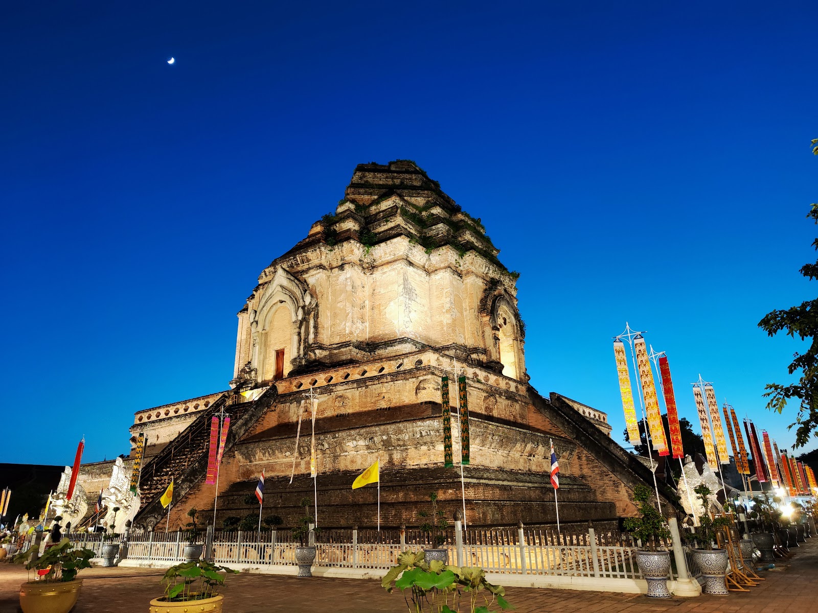
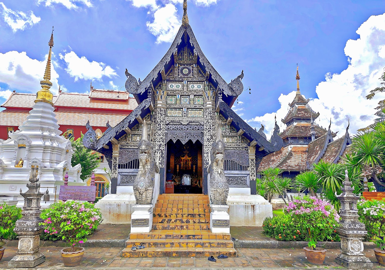
Founded 1296 by King Mangrai as Chiang Mai — literally “new city” — the capital of the Lanna kingdom. The moat and the brick wall you still drive around are the original defensive perimeter, rebuilt many times; the corner bastion at Katam and the rebuilt gates are the surviving fabric. Burma held the city from 1558 for roughly two centuries, and it was abandoned entirely for about twenty years before King Kawila repopulated it in the 1790s by force-marching craft communities in from the Shan states — which is why several neighbourhoods outside the wall are craft villages to this day.
Who actually lives here
Thin on actual residents by inner-city standards. What remains is older Thai families in shophouses on the smaller sois, temple communities around the big wats, and guesthouse/business owners. Everything else is short-stay: the housing stock converted to tourism decades ago. You will hear more English per block here than anywhere except Nimman.
Character
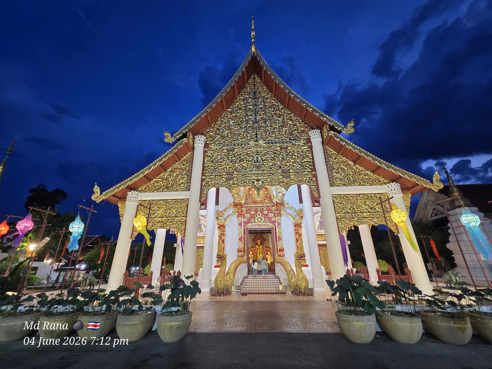
Low-rise and green, because temple land and a height limit have kept towers out. Dense with wats — you cannot walk five minutes without passing one. Quiet inside the sois, loud on the moat road. Sunday Walking Street closes Ratchadamnoen to traffic and the whole centre becomes a market.
Downsides
Tourist-priced and tourist-shaped: laundry, food and taxis all carry a premium. Old building stock means damp and thin walls in green season. Moat-road traffic noise is real, and the Sunday market makes half the area impassable by car.
Getting around: The only genuinely walkable area in the city. Flat, gridded, ~1.5km across.
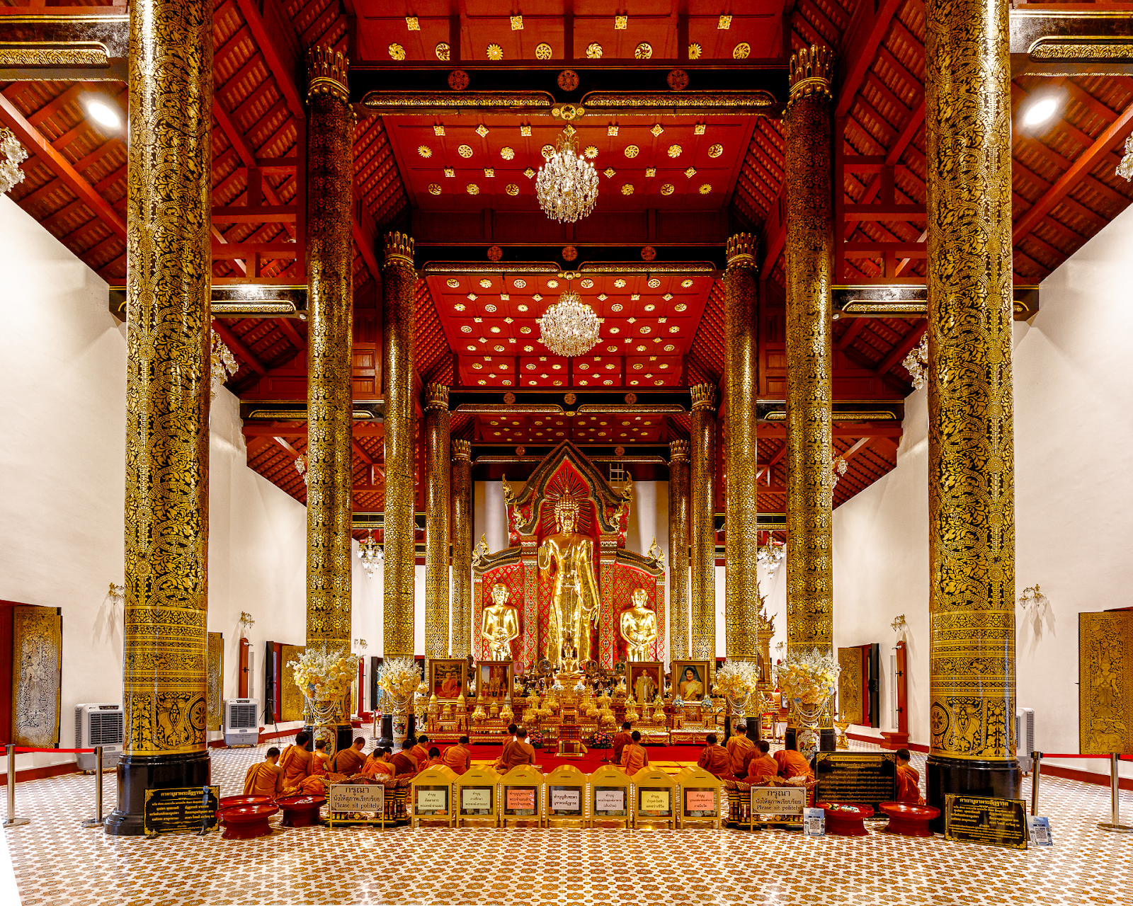
The obvious base for a 7-night stay and the one that needs least planning — you can walk to food, temples and a park without a scooter, which matters with a 7- and a 9-year-old. Vegetarian coverage is the best in the city: Reform Kafé, Goodsouls and Free Bird are all inside the wall and all clear 4.5★. Nong Buak Hard park in the southwest corner is the kid release valve. The honest cost: it is the least “place locals go” option on this page, and you will pay maybe 30% over Santitham for the same room.
Anchor: Wat Chedi Luang4.7★ (18,780)on Maps → · 18.7870, 98.9866
Nimman (Nimmanhaemin) Safest for the work day
นิมมานเหมินท์
The expat and digital-nomad capital. Highest rents, best coffee, least Thailand.
Rent, month฿12,000–28,000published band
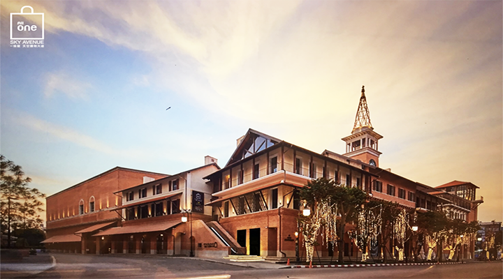
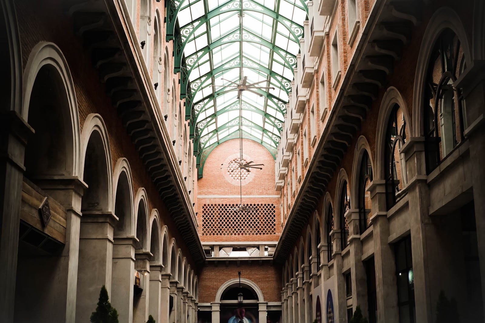
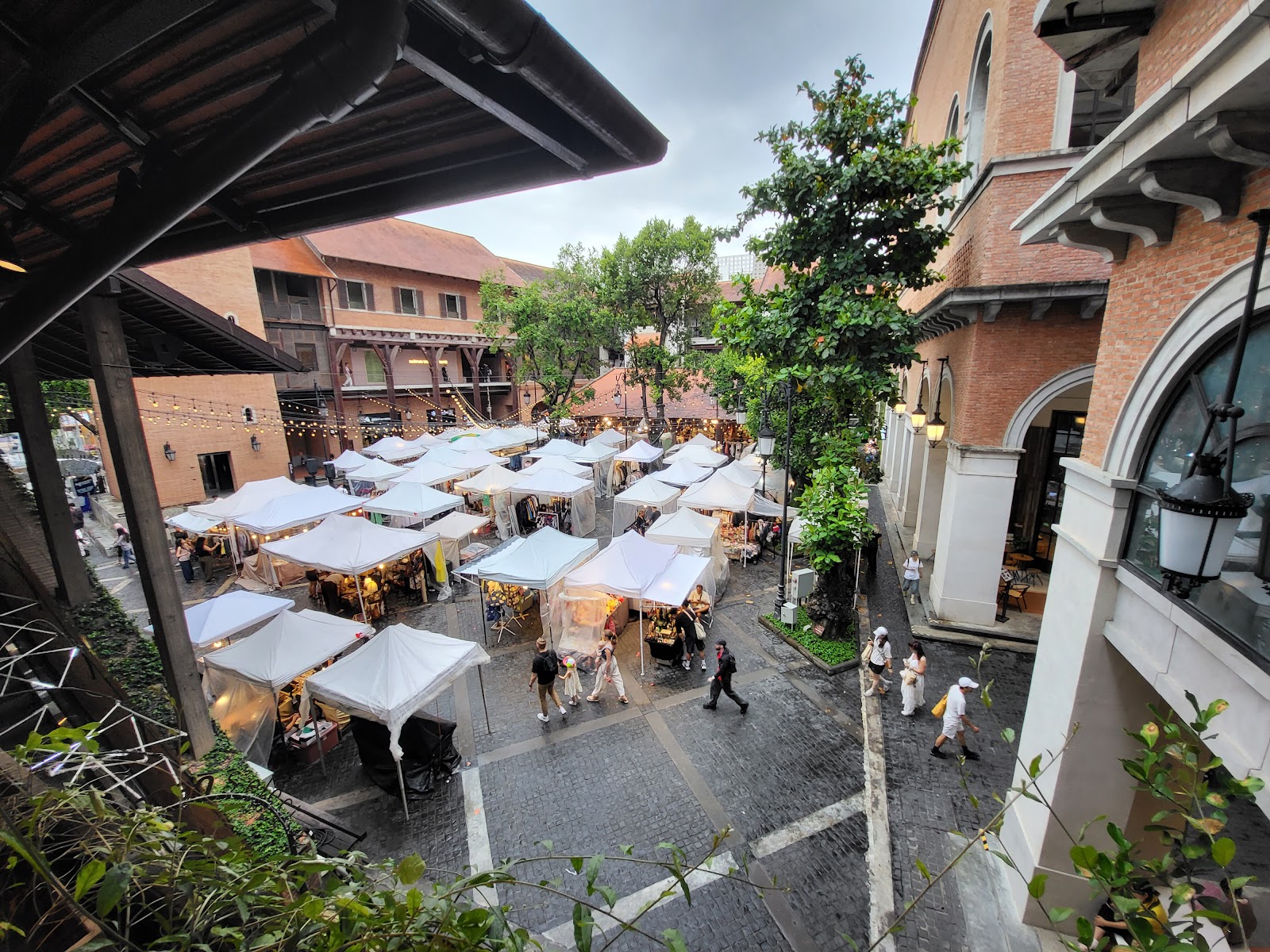
One Nimman / GoogleOne Nimman / GoogleMarco Leung / GoogleSea Sea / Google
History
Named for Kiat Nimmanhaeminda, a Chiang Mai businessman whose family developed the land in the 1950s–60s as a quiet residential grid beside the new Chiang Mai University campus. It stayed suburban and unremarkable until the 2000s, when cheap rents on the sois attracted galleries, then cafes, then design shops. The Maya mall (2013) and One Nimman (2017) finished the conversion from residential street to commercial district.
Who actually lives here
Affluent Thai professionals and CMU academics own much of it; the renting population is digital nomads, Chinese and Korean students, and expats on 1–3 month stays. It is the least Thai-feeling neighbourhood in Chiang Mai and the only one where a shop can survive on English signage alone.
Character
Numbered sois running off one spine road, each a mix of condo towers, third-wave coffee, bars and boutiques. Dense, busy, and increasingly vertical. Genuinely excellent coffee — Ristr8to has won world latte-art championships and the standard around it rose to match.
Downsides
The city's highest rents. Directly under the airport approach, so plane noise is constant from early morning. Traffic and parking are the worst in the city. Prices in cafes are Bangkok-level, not Chiang Mai-level.
Getting around: Walkable within the sois; pavements are poor and often parked over.
Nearest areas: Jed Yod 4m · Suan Dok 7m · Chang Phueak 10m
For this family
The safe choice if the work day is the thing that must not break — the density of reliable-wifi cafes and coworking (Yellow, Hub53, CAMP) is unmatched, and you can always find a plug. But it is the direct opposite of the “off the beaten path, but not off the grid” target in the profile: the visitor base is entirely international and you pay for it. Anchan Vegetarian is the standout veg option at 4.5★. Consider it the fallback if Santitham's cafe situation proves too thin, not the first pick.
Anchor: One Nimman4.5★ (13,302)on Maps → · 18.8003, 98.9676
Santitham Best value / profile match
สันติธรรม
The value pick. A working Thai neighbourhood 10 minutes from everything.
Rent, month฿6,000–14,000published band
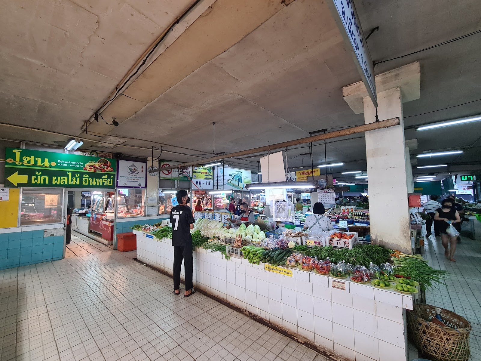
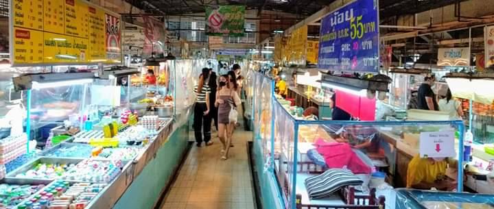
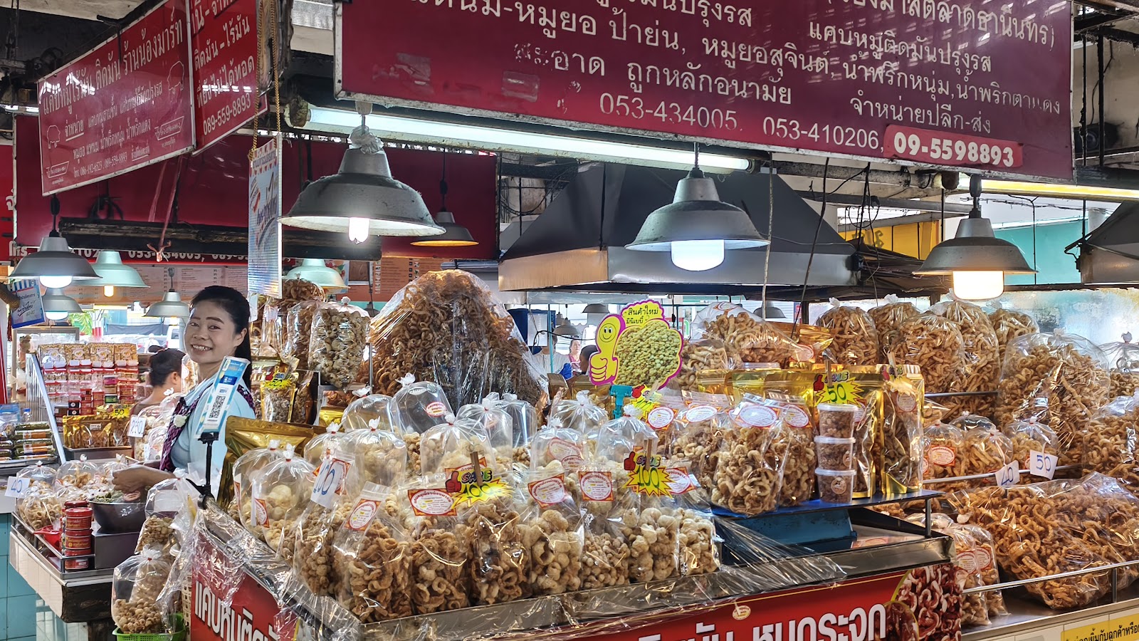
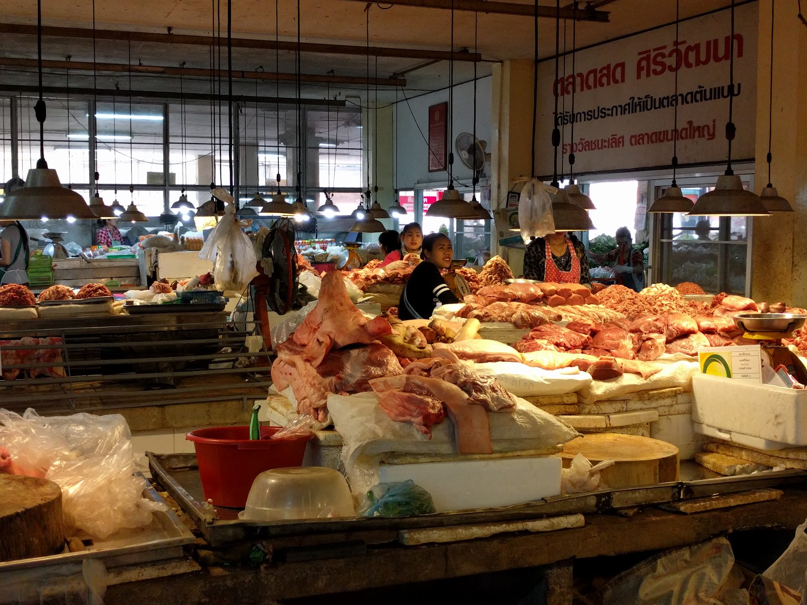
Chayut O / Googleตลาดศิริวัฒนา (กาดธานินทร์) / Googlekun chin Neoh / GoogleRichard Ando / Google
History
No grand origin story — and that is rather the point. Santitham grew outward from the northwest corner of the moat through the 1970s–90s as ordinary shophouse-and-soi development serving Chiang Mai Rajabhat University and the wholesale markets. It has never been planned, branded, or aimed at anyone. It is what the rest of the inner city looked like before tourism reshaped it.
Who actually lives here
The most genuinely mixed population on this page: Thai families several generations in place, Rajabhat students, monks, Thai-language and Muay Thai students, retirees, and the long-stay expats who have been in Chiang Mai over a year and deliberately left Nimman. Nobody is here on holiday.
Character
Three- and four-storey shophouses, tangled overhead cabling, a morning market that opens around 05:30, and food at Thai prices with no English-menu surcharge. Scruffy rather than pretty. Rents run roughly 30–40% below comparable Nimman units for the same square metres.
Downsides
Older buildings, limited modern condo stock, few Western cafes within walking distance, and songthaews are less frequent than on the main roads. Dedicated coworking is thin — most people cycle to Nimman for it.
Getting around: Walkable locally; you will want a scooter or bicycle for daily life.
Nearest areas: Jed Yod 8m · Chang Phueak 8m · Old City 10m
For this family
This is the profile's stated target almost exactly: real tourism infrastructure, a domestic rather than international visitor base, and the bottom of the price band without being rough. It is also where the existing Chiang Mai plan already assumes the base. Ombra Caffe (4.5★) carries the work day locally and Nimman is 10 minutes by scooter when it doesn't. The real cost is vegetarian convenience — the market food is cheap and excellent but you will be pointing and asking ‘jay’ or ‘mangsawirat’ rather than reading a vegan menu.
Anchor: Siri Wattana Market4.4★ (8,683)on Maps → · 18.8045, 98.9846
Chang Phueak
ช้างเผือก
Directly north of the moat. Street food, students, and nobody's guidebook.
Rent, month฿6,000–15,000estimate — no published band found
Baan Shinjitsu / GoogleNoosuji Jew / GoogleSean Lam / Googleguffy journey / Google
History
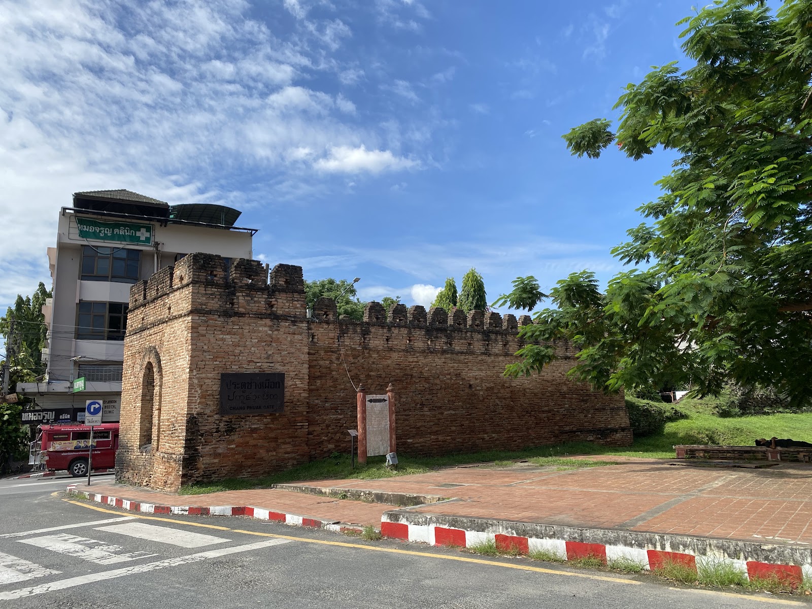
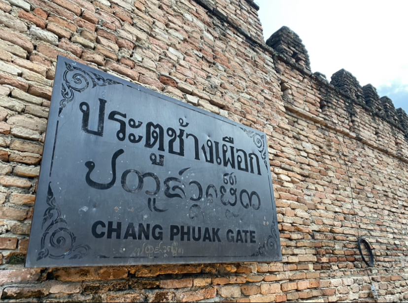
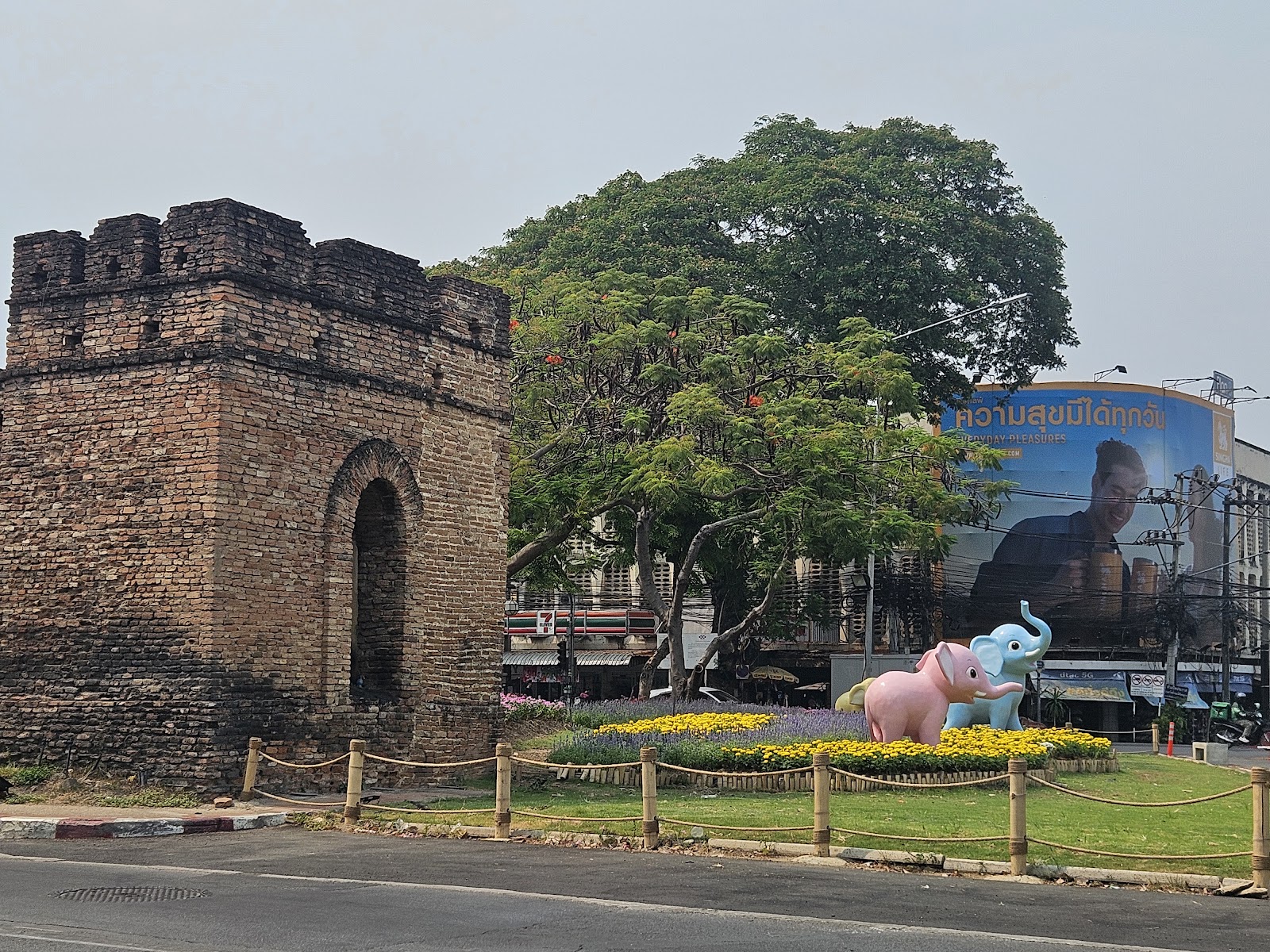
The name means ‘white elephant’, after the gate — legend has it King Mangrai's elephants halted here, marking the city's northern boundary. The gate was the ceremonial entrance used by Lanna kings, and the road north from it is the historic route to Chiang Rai and the Shan states. Modern Chang Phueak is a broad northern district that swallowed the old route in the 20th century.
Who actually lives here
Budget-conscious Thai renters, students from the nearby campuses, and market traders. Very little expat presence relative to its distance from the centre — which keeps prices honest.
Character
Functional rather than charming. Its fame is the night food market immediately outside the gate — the khao kha moo stall known as the Cowboy Hat Lady is here — which runs most evenings and is where locals and visitors actually mix.
Downsides
Little of its own beyond the market and the gate. Main-road traffic is heavy and the district sprawls north with no clear centre. Dedicated coworking is essentially absent.
Getting around: Closest area to the Old City by road: about 4 minutes' drive, walkable in 15.
Nearest areas: Old City 4m · Suan Dok 8m · Santitham 8m
For this family
Underrated for a short stay purely on geometry — it is the closest area to the Old City on this whole page (4 min) while costing materially less, and the night market is a genuinely local evening the kids would enjoy. Vegetarian options at the market exist but are not the point of it; plan on eating veg elsewhere and coming here for the atmosphere. Work from the Old City or Santitham.
The oldest expat neighbourhood in the city by roughly 150 years. When Chiang Mai's trade ran on the Ping river, the east bank is where the boats landed — so this is where the Chinese and Shan traders, the British teak companies, and the American Presbyterian missionaries all settled from the 1860s. The result is a genuinely layered streetscape: a Lanna temple, a Chinese shrine, a colonial-era church and teak merchant houses within a few hundred metres. Wat Ket Karam's small museum is a community-run collection of the neighbourhood's own objects.
Who actually lives here
Old Chiang Mai Chinese-Thai trading families who never left, plus artists, gallerists and a long-settled Western contingent. Skews older and more permanent than Nimman by a wide margin.
Character
Quiet, leafy, river-facing. Charoenrat Road along the bank is the spine — galleries, restaurants in converted teak houses, and a handful of high-end hotels. Slower and more residential than anywhere else this central.
Downsides
Turnover has been real — Woo Cafe, for years the area's landmark cafe-gallery, is gone and Poon Poon now occupies the address. River proximity plus green season means mosquitoes, and the low-lying streets flood. Fewer budget rooms than the inner areas.
Getting around: Pleasant along the riverbank; 12 minutes' drive to the Old City.
Nearest areas: Chang Klan 5m · Chang Phueak 9m · Old City 12m
For this family
The most atmospheric area on the page and the best answer to ‘where is the history’ — a walk down Charoenrat with the church, the shrine and the temple in one line is the single clearest lesson in how this city was built. But flag it hard for Yali: standing water plus a river bank plus green season is the exact mosquito profile the health notes warn about, and dusk on the river is when it bites. Alt_PingRiver (4.8★, thin review count) is the coworking option.
Anchor: Wat Ket Karam4.6★ (1,321)on Maps → · 18.7924, 99.0029
Chang Klan / Night Bazaar Skip as a base
ช้างคลาน
Hotel strip and night market. Convenient, commercial, not a neighbourhood.
Rent, month฿10,000–25,000published band
นายกิตติชัย ตันวัฒนะ / GoogleHagen Jeschke / GoogleTomasz S. / GoogleKim Moi Lim / Google
History
This was the caravan terminus — the Yunnanese Haw muleteers who ran goods between southern China and Burma unloaded here, outside the walled city and beside the river port. That trading function never stopped; it just became the Night Bazaar in the 1980s, when the street market was formalised into the tourist institution it is now. The Muslim quarter around Ban Haw mosque, just north, is the direct descendant of those caravan traders.
Who actually lives here
Thinner residential population than its density suggests — much of the stock is hotel and serviced condo. The permanent community is the Chinese-Muslim Haw families around the mosque and market traders.
Character
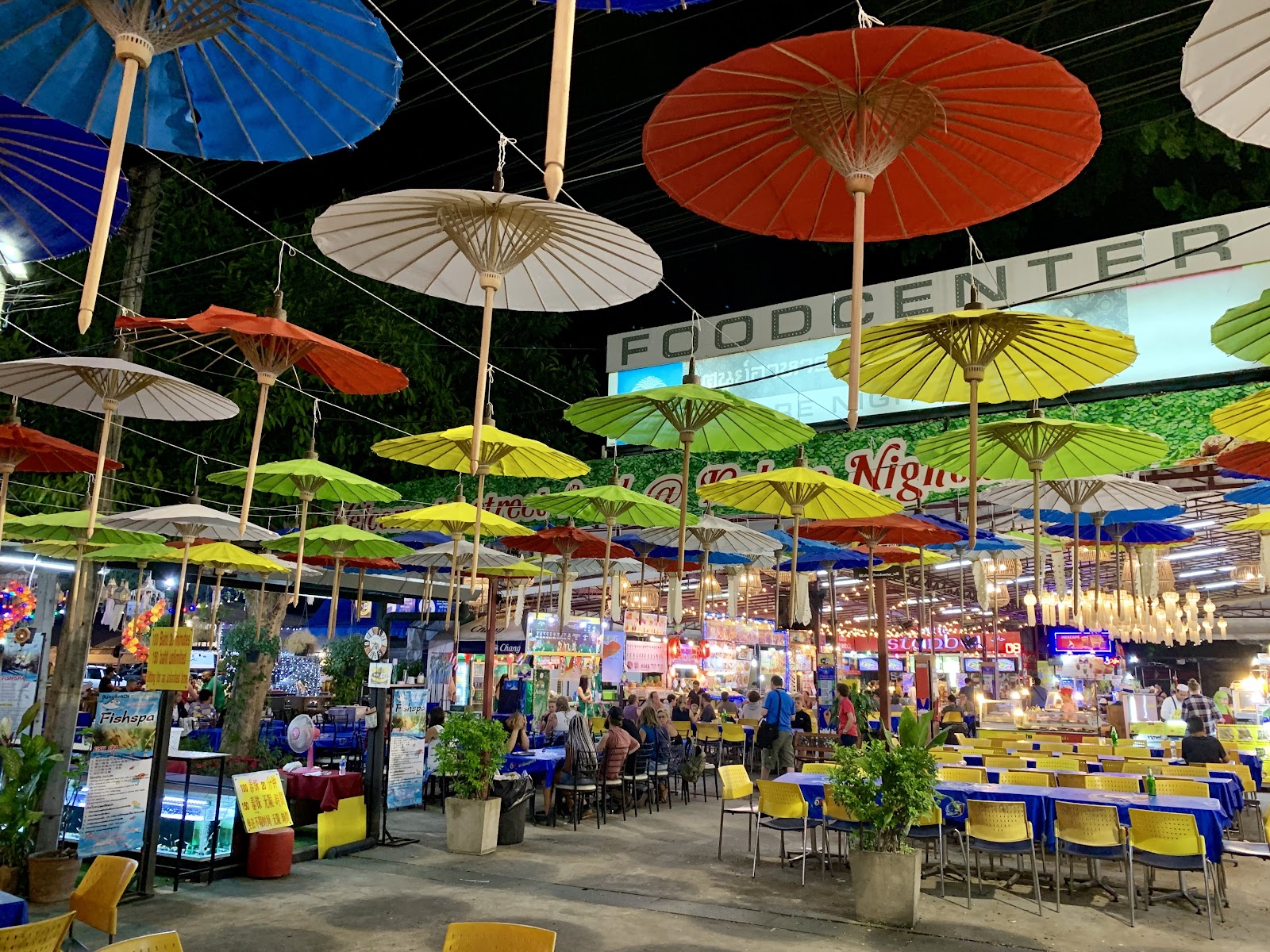
An uneven mix of five-star towers and rundown shophouses on the same block. Loud and lit at night, dead and hot by day. The Anusarn section is food stalls; the main bazaar is largely souvenirs.
Downsides
The most touristed square kilometre in Chiang Mai and priced accordingly. Little daily-life infrastructure — it is not built for people who live here. Quality varies sharply block to block.
Getting around: Walkable to the Old City in about 20 minutes; 12 by road.
Nearest areas: Riverside 5m · Chang Phueak 10m · Old City 12m
For this family
Hard to recommend against the profile. It is the guidebook's first stop, the visitor base is entirely international, and it fails the ‘places locals go’ test more clearly than any other area here. Worth one evening for the market itself — the kids will like it — and Heartwork (4.7★) is a legitimately good coworking space. Not worth basing in.
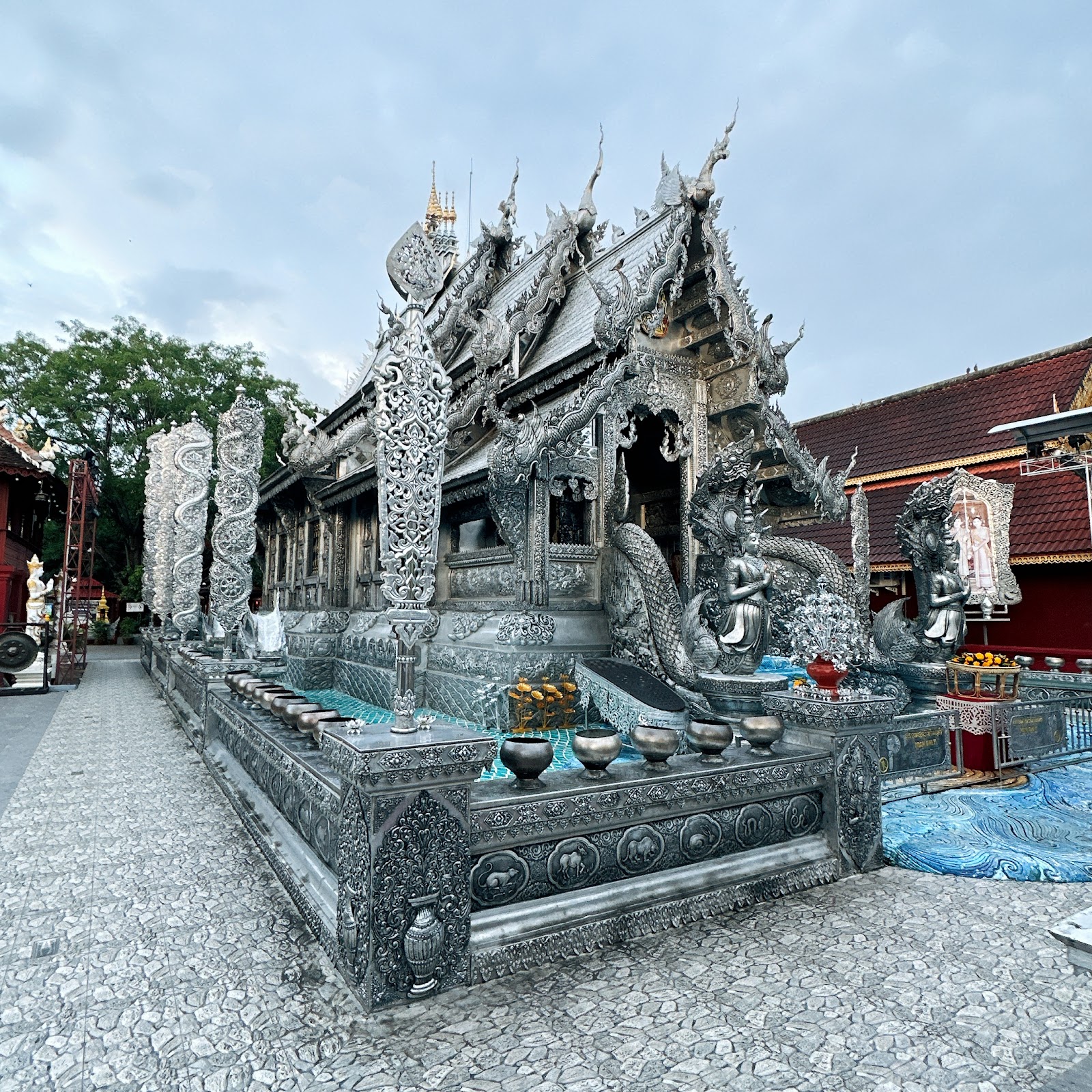
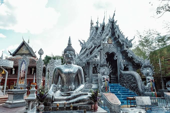
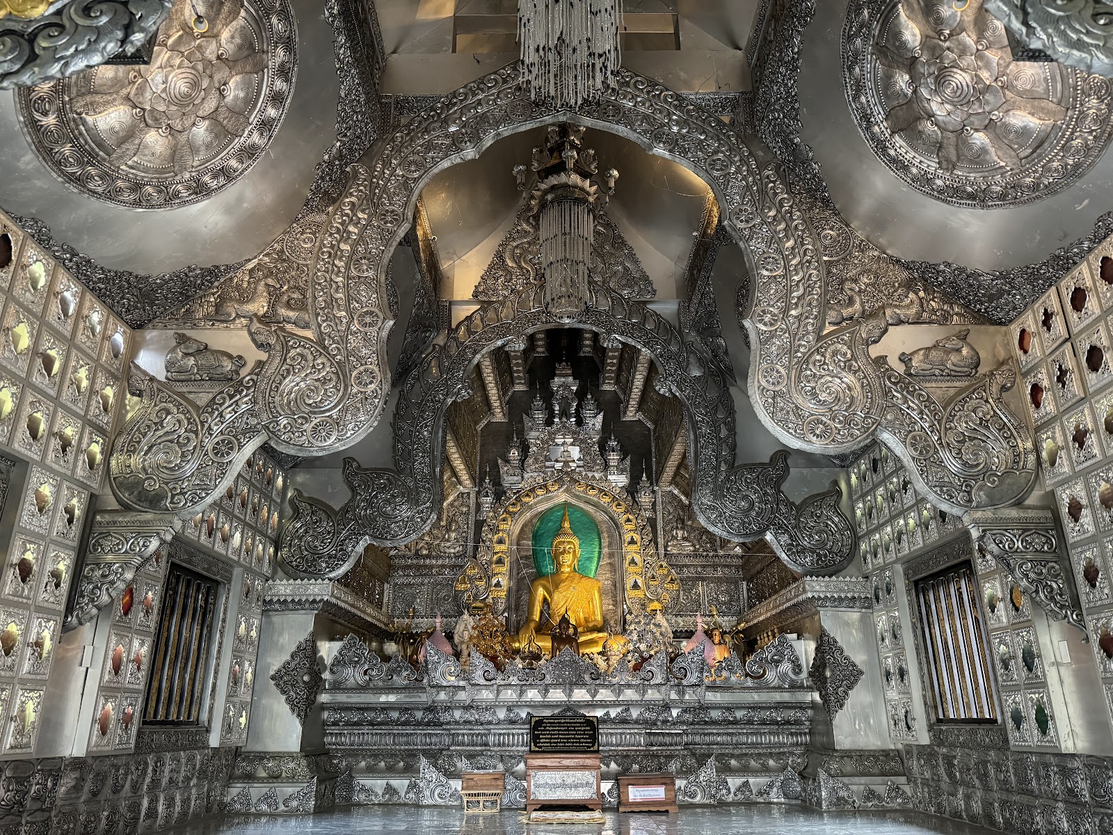
The clearest surviving example of Kawila's forced resettlement. In 1799 he brought Tai Shan silversmith communities from the Salween valley and settled them immediately outside the southern wall; for the whole first half of the 20th century nearly every household on Wua Lai Road had its own workshop, producing ceremonial bowls and repoussé silver plate. Wat Sri Suphan — the Silver Temple, its ordination hall clad entirely in worked silver and aluminium — is the craft's monument to itself, and still a working teaching site.
Who actually lives here
Descendants of the silversmith families, some still working; otherwise ordinary Thai households and, toward Hai Ya, a lower-income working population. Minimal expat presence.
Character
Quiet and low-rise six days a week, then Saturday evening the whole of Wua Lai Road closes for the Saturday Walking Street — the more local counterpart to Sunday's tourist-heavy version in the Old City.
Downsides
Hai Ya floods in the rainy season — a real consideration for a late-August arrival. Sits under the airport flight path. Very little coworking; you would work from the Old City. Note the ordination hall at Wat Sri Suphan is closed to women, which is worth knowing before you walk the family up to it.
Getting around: Immediately south of the moat; 13 minutes' drive to the centre, walkable in 20.
Nearest areas: Suan Dok 8m · Chang Phueak 9m · Old City 13m
For this family
The best ‘making and doing’ answer in the inner city, which is the profile's third reliable kid category — silver workshops here run short beginner sessions a 9-year-old can genuinely do, and Weave Artisan Society (4.6★) is a restored warehouse craft space nearby. Saturday Walking Street lands on your day off. Flag the flooding for a late-August stay and the women-excluded hall before you go.
Anchor: Wat Sri Suphan - Silver Temple4.5★ (4,597)on Maps → · 18.7787, 98.9837
Suan Dok / Suthep (CMU) Best vegetarian
สวนดอก / สุเทพ
University land between Nimman and the mountain. Students, cheap food, royal ashes.
Rent, month฿5,000–12,000estimate — no published band found
Thitiwat (inay) / GoogleK.S. HO / GooglePau Lozano / GooglePeter Meyer / Google
History
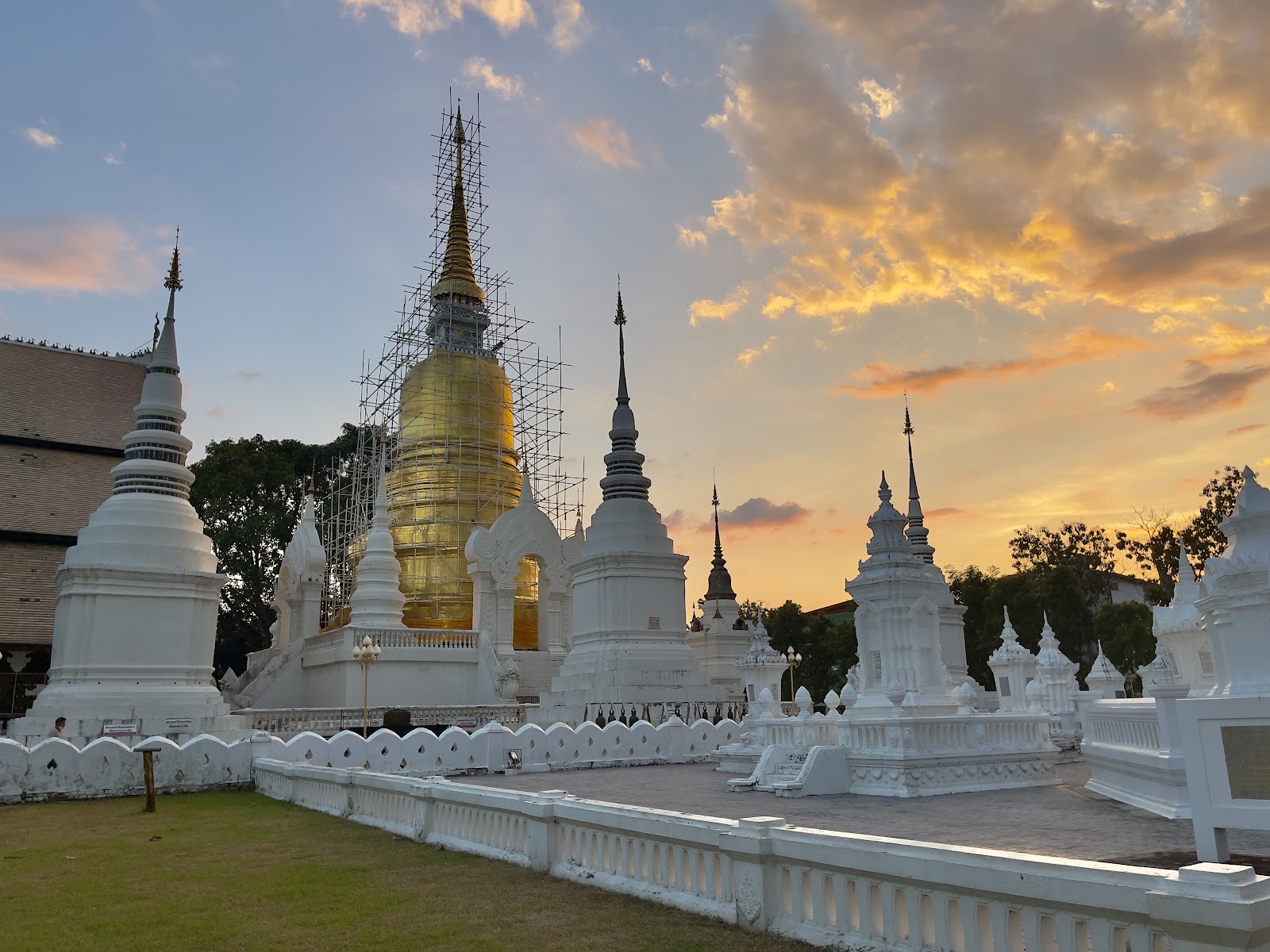
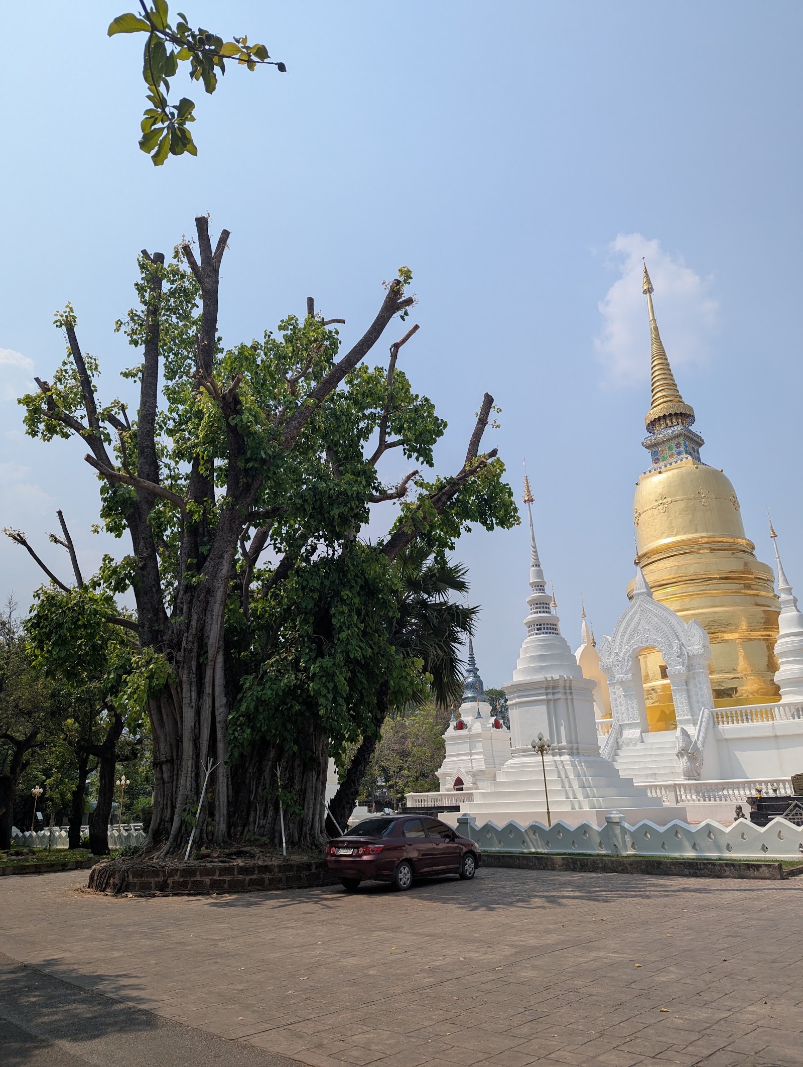
Suan Dok means ‘flower garden’ — this was the Lanna kings' pleasure garden before King Ku Na founded the temple here in 1370 to house a relic. The cluster of whitewashed chedis you see is the royal cemetery: the ashes of the Chiang Mai ruling family were moved here in 1909. The surrounding area was farmland until Chiang Mai University opened in 1964 and pulled the city west.
Who actually lives here
Students above all — CMU has tens of thousands — plus university staff, hospital workers from Suan Dok (Maharaj) hospital, and monks from the temple's Buddhist university. Young, transient, price-sensitive.
Character
Student rhythm: cheap dormitory blocks, laundry, print shops, and food stalls that undercut everywhere else in the city. Ton Phayom market is the daily anchor. The Monk Chat at Wat Suan Dok — where novices practise English with visitors — has run for years and is free.
Downsides
Directly under the airport flight path and noisy with it. Cafes fill with students at exam time. Housing is built for single students, not families — finding a 2-bedroom is harder here than the rent band suggests. Empties out between terms.
Getting around: Walkable near the campus; 10 minutes' drive to the Old City, 7 to Nimman.
The cheapest food in the inner city and the best vegetarian story on the page: Pun Pun Vegetarian Slow Food sits inside the Wat Suan Dok grounds and is an organic-farm project, not a tourist restaurant. Combine that with the Monk Chat, Ton Phayom market and the lowest rents this close to the centre and it is a serious value option. The catch is family-sized housing, which barely exists here.
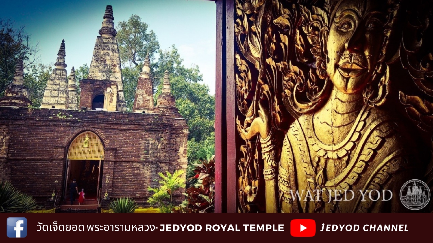
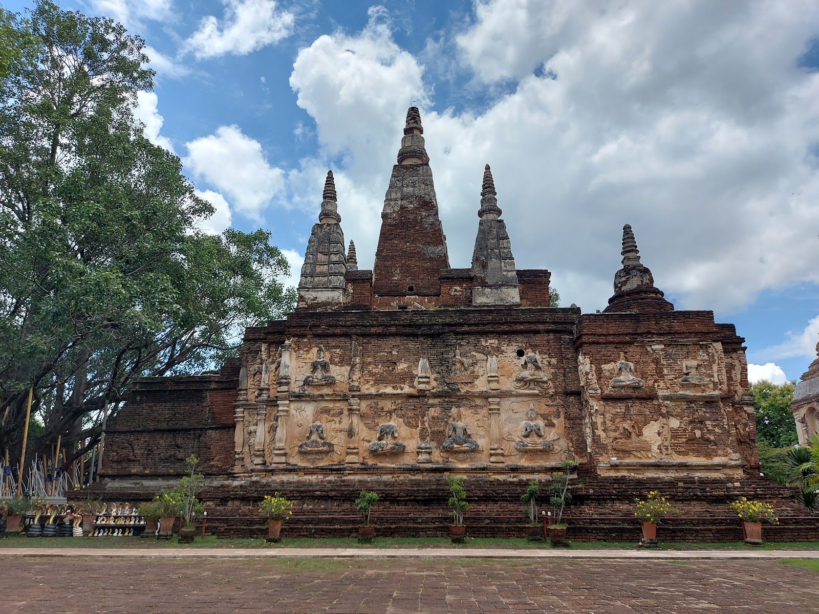
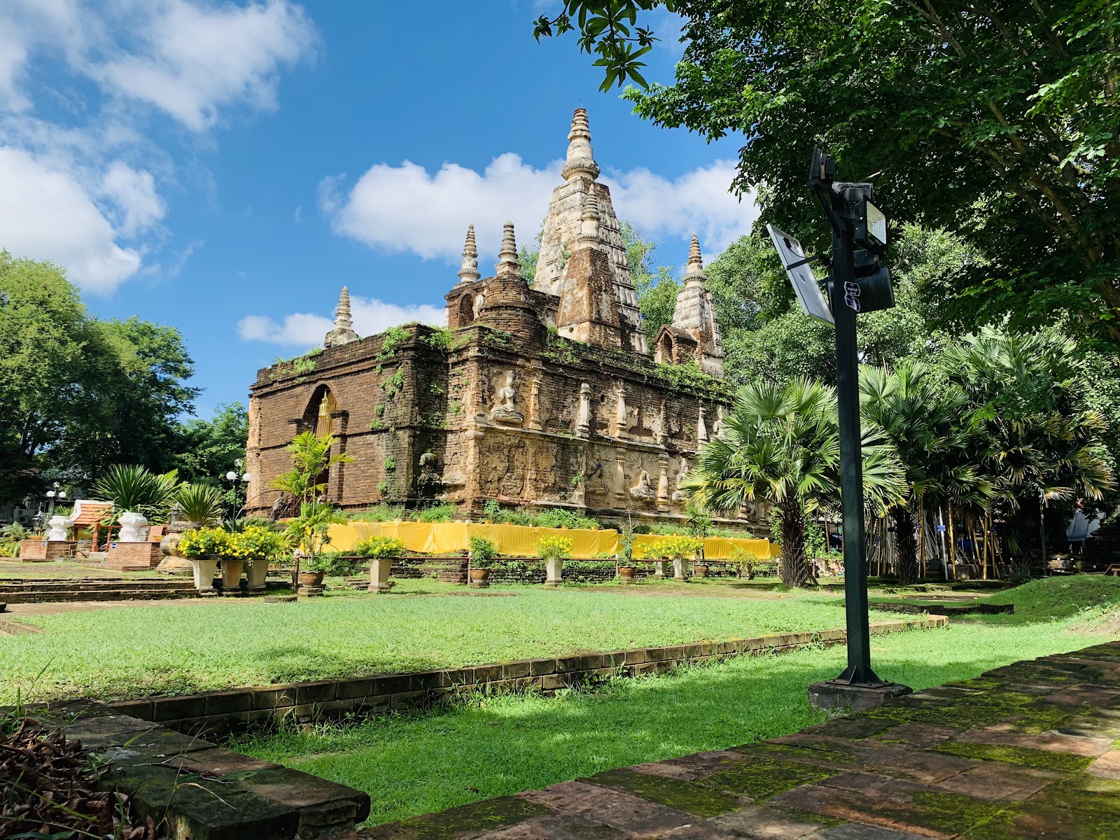
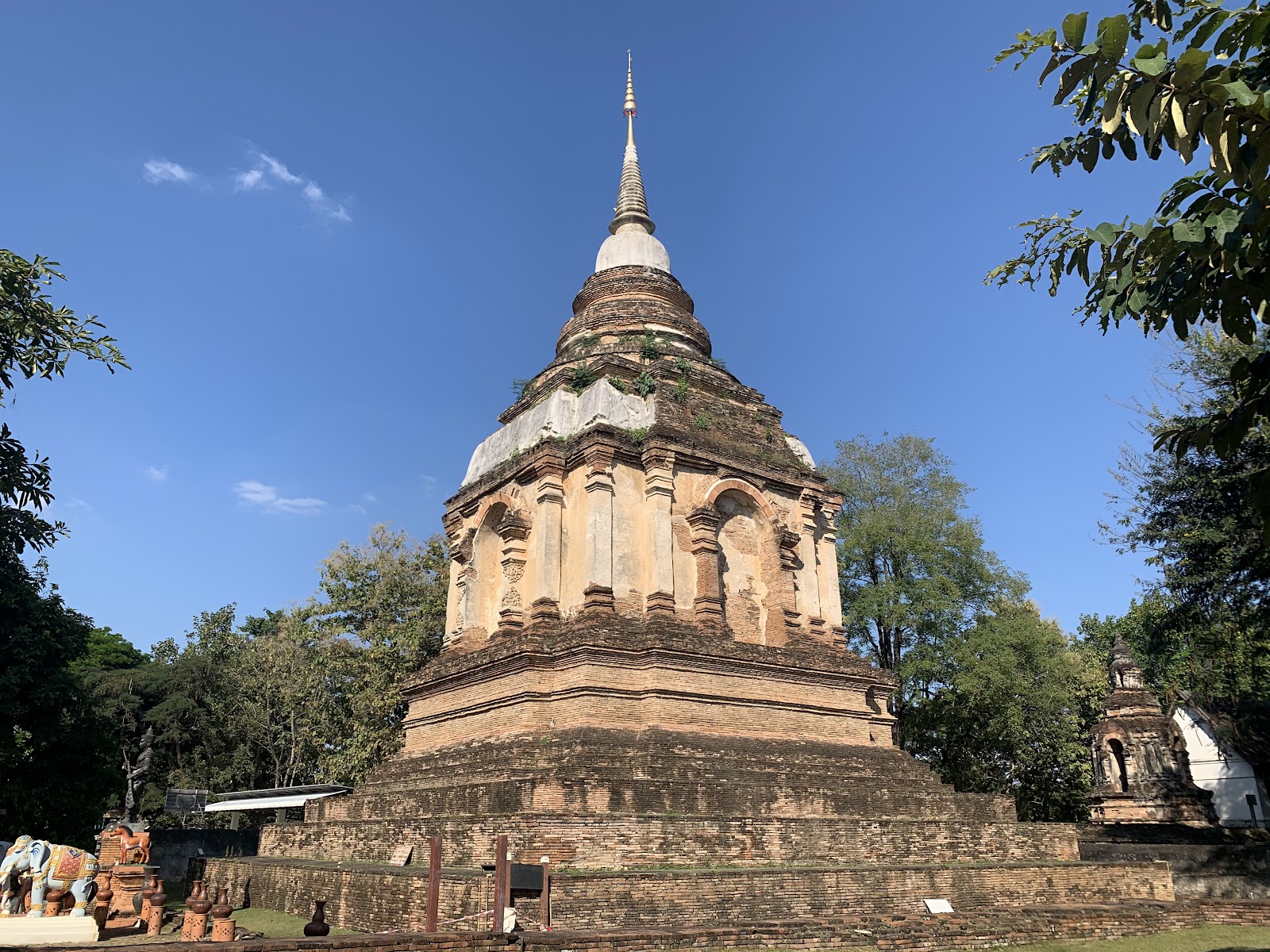
Named for Wat Chet Yot — ‘seven spires’ — built in 1455 by King Tilokarat as a copy of the Mahabodhi temple at Bodh Gaya. In 1477 it hosted the Eighth World Buddhist Council, where the Pali Canon was revised; that makes this small, easily-missed temple one of the most historically weighty sites in Thailand. The surrounding area stayed rural far longer and only filled in once the Superhighway was cut.
Who actually lives here
Middle-income Thai households and the overflow of budget-minded foreigners who want Nimman's amenities without Nimman's rent.
Character
Narrow sois, unassuming, no centre of gravity of its own — it borrows Nimman's, which is 4 minutes away. Several venues marketed as ‘Nimman’ are physically here.
Downsides
The worst aircraft noise in the city — it sits under the point where departing planes bank. Exceptionally narrow streets. Cut through by two major roads, so it feels severed rather than whole.
Getting around: Not walkable to much; 4 minutes to Nimman and 16 to the Old City by road.
A pure arbitrage play: Nimman's coffee, coworking and Maya mall four minutes away, at roughly half Nimman's rent. Wat Chet Yot itself is the sleeper attraction on this page — 4.7★ and almost empty compared to the Old City temples. Worth a look if Santitham's listings come up short. Do not sign anything without standing on the balcony for ten minutes first to hear the planes.
Anchor: Wat Jedyod Royal Temple Wat Chet Yod Phra Aram Luang4.7★ (4,397)on Maps → · 18.8090, 98.9717
Wat Umong / Baan Kang Wat Kids: hands-on
วัดอุโมงค์
Forest temple and artists' village on the lower slope of Doi Suthep.
Rent, month฿7,000–18,000estimate — no published band found
伊藤佳代 / GoogleSean Tan / Google戴詹姆士 / Googleน้อนแมว เมี๊ยวๆ เรียกๆเมี๊ยวๆ เดี๋ยวก็มา / Google
History
Wat Umong dates to around 1297 — among the oldest foundations in the city — and is unusual for its tunnels: brick passages cut into the hillside, said to have been built for a monk whose mind wandered, and still lined with the remains of murals. It became a forest meditation temple and remains one. Baan Kang Wat, the small artisan village beside it, is modern — opened 2013 — and deliberately built as workshops rather than shops.
Who actually lives here
A quiet mix: meditation practitioners and long-stay foreigners drawn by the temple, Thai artists and craftspeople around Baan Kang Wat, and ordinary households in the sois behind.
Character
Greener and several degrees cooler than the flat city, because you are on the slope. Wooded temple grounds with a lake and free-roaming animals; the artisan village runs pottery, weaving and painting workshops and a Sunday morning market.
Downsides
Genuinely car- or scooter-dependent — this is the first area on the page where you cannot manage without one. Forest plus a lake means mosquitoes. Almost no coworking or reliable-wifi cafe density; a workday here is a gamble.
Getting around: Not walkable to the city; 19 minutes' drive to the Old City, 13 to Nimman.
Nearest areas: Suan Dok 10m · Nimman 13m · Wua Lai 16m
For this family
The strongest hands-on option in reach of the city: Baan Kang Wat's workshops are exactly the ‘both kids participate’ shape the profile asks for, and Wat Umong's tunnels and lake are a genuinely good hour for a 7- and 9-year-old. Already logged at 26 minutes padded from Santitham in the reach cache. Best treated as a day out from a base elsewhere rather than the base itself — the work-wifi risk is the disqualifier.
Historically a farming and craft district — Ban Wan on the Hang Dong road has been an antique and woodcarving trade street for decades, and the surrounding land was rice and longan orchards. Its transformation is recent and entirely driven by the international schools and the Canal Road corridor, which turned orchard land into gated moobaan developments through the 2000s and 2010s.
Who actually lives here
The clearest family-expat concentration in Chiang Mai — Western and East Asian families on school postings, retirees wanting a garden, and middle-class Thai households in the same estates. Almost nobody here is on a short stay.
Character
Suburban in the fully international sense: gated estates with pools, wide roads, big-box shopping, and quiet. Space and greenery you cannot buy in the inner city at any price.
Downsides
A car is not optional. The 35-minute run into town is the whole day's logistics if you do it twice. Little street life. Pool-heavy housing stock — relevant given Yali's chlorine sensitivity.
Getting around: Not walkable in any useful sense. 35 minutes to the Old City, 29 to Nimman.
Nearest areas: Wat Umong 22m · Suan Dok 26m · Nimman 29m
For this family
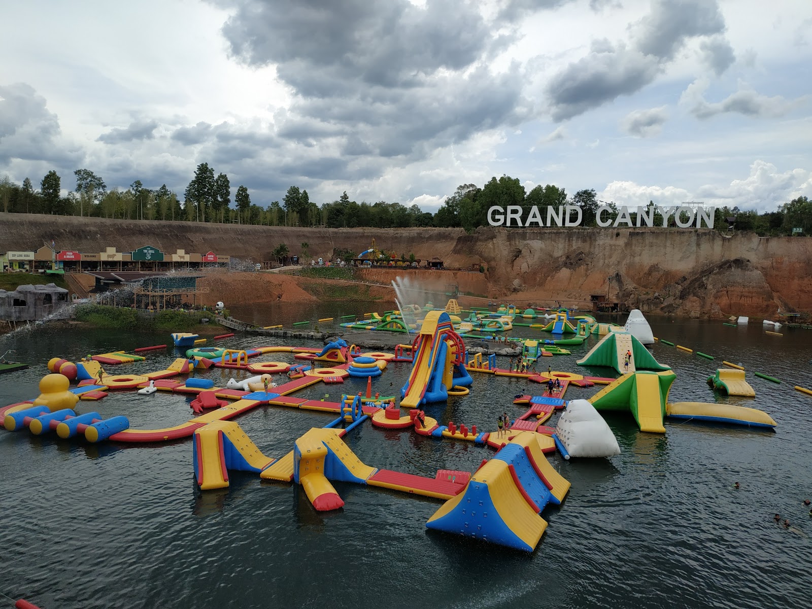
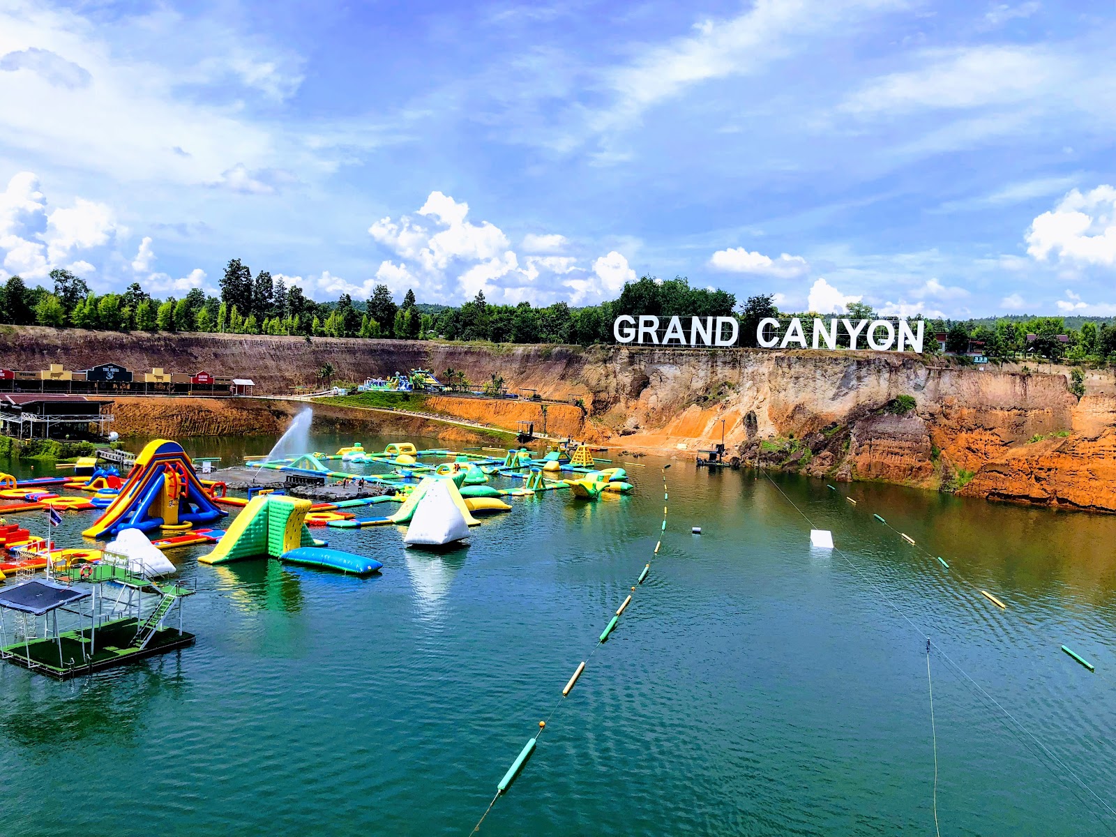
This is the answer to ‘where would we live here for a year with the kids in school’, not ‘where do we stay for a week in August’. For a 7-night trip the commute kills it. Worth understanding now as reconnaissance, though — it is the direct Chiang Mai equivalent of the Rajbag setup you are moving to in Goa, and if Chiang Mai ever becomes a longer stay, this is the shortlist. Grand Canyon Water Park nearby is a real kid draw but is chlorinated and busy.
Geographic anchor only: Hang Dong District Office — an administrative building used to place the pin, not a recommendation. on Maps → · 18.6867, 98.9190
Mae Rim Day trip, not a base
แม่ริม
North into the Mae Sa valley. Mountains, resorts, waterfalls, and distance.
Rural district north of the city along the Ping and up the Mae Sa valley, historically farming and forest. Royal patronage shaped its modern form: the Queen Sirikit Botanic Garden opened in 1992 as Thailand's first international-standard botanic garden, and the royal agricultural stations drove the valley's shift from opium substitution crops to flowers, coffee and tourism.
Who actually lives here
Northern Thai farming families, resort and attraction staff, plus a scattered population of foreign semi-retirees and remote workers who wanted land and cool air more than they wanted a cafe.
Character
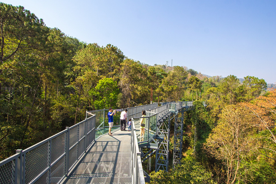
Properly rural within twenty minutes of a city. Waterfalls, the botanic garden's canopy walkway, elephant sanctuaries (ethics vary sharply — verify individually), and cooler nights.
Downsides
Car-dependent and far from everything including each other — the Mae Rim–Hang Dong run is 47 minutes, the longest pair on this page. Amenities are thin. Green-season roads in the valley get slick and the waterfalls run hard.
Getting around: No. 29 minutes to the Old City, 22 to Nimman, and 47 to Hang Dong.
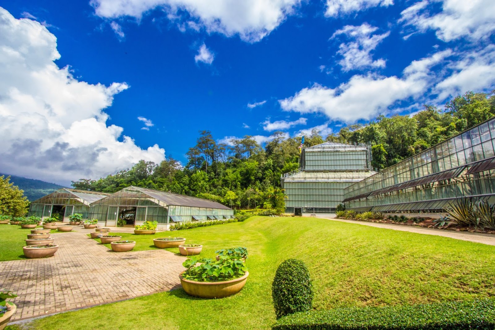
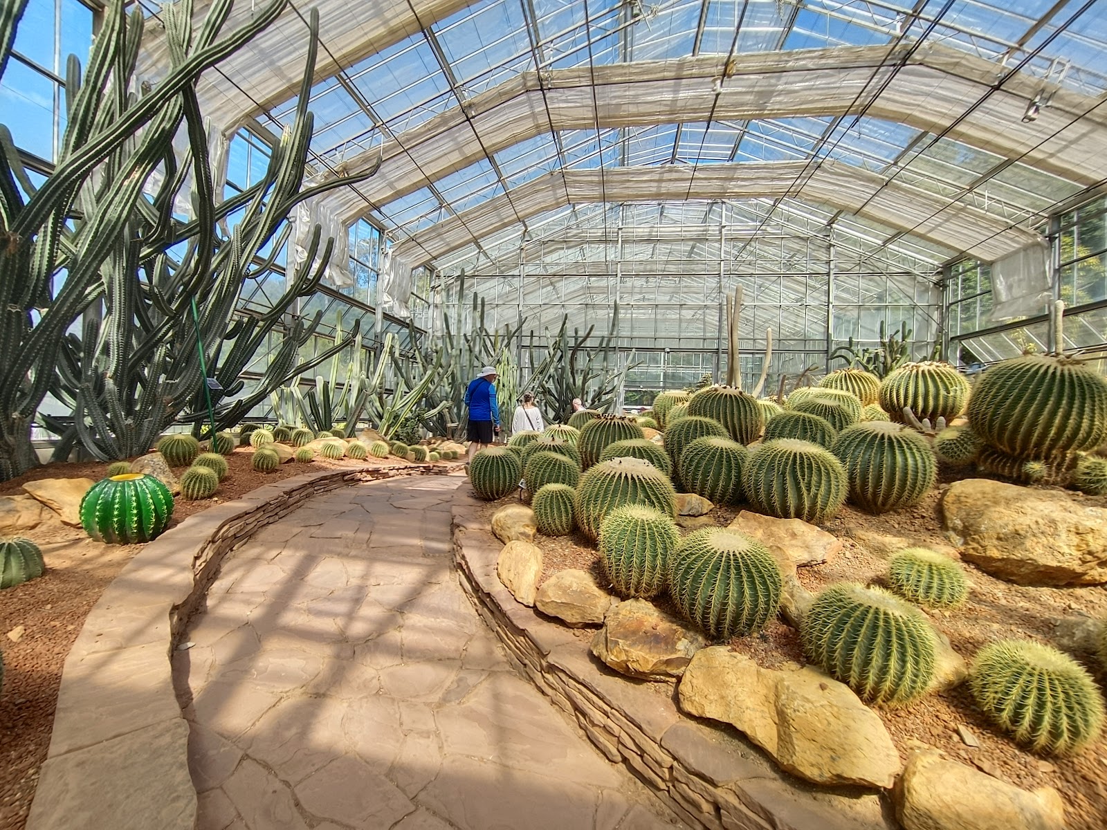
Not a base for this trip, but the best single day out from one. Queen Sirikit Botanic Garden (4.6★, 6,572 reviews) is the pick — canopy walkway, glasshouses, and shade, which suits both kids at once. Elephant sanctuaries here need individual ethics checking against the profile's hard rule; do not book on a brochure. Mosquito exposure in the valley is higher than in town.
Geographic anchor only: Mae Rim District Office — an administrative building used to place the pin, not a recommendation. on Maps → · 18.9140, 98.9448
San Kamphaeng / Bo Sang Day trip, not a base
สันกำแพง / บ่อสร้าง
The craft corridor east. Umbrellas, silk, hot springs, and few foreigners.
Rent, month฿6,000–15,000estimate — no published band found
Bruce Edwards / GoogleFrancesco Bariletti / GoogleArjun / GoogleChristophe Clement / Google
History
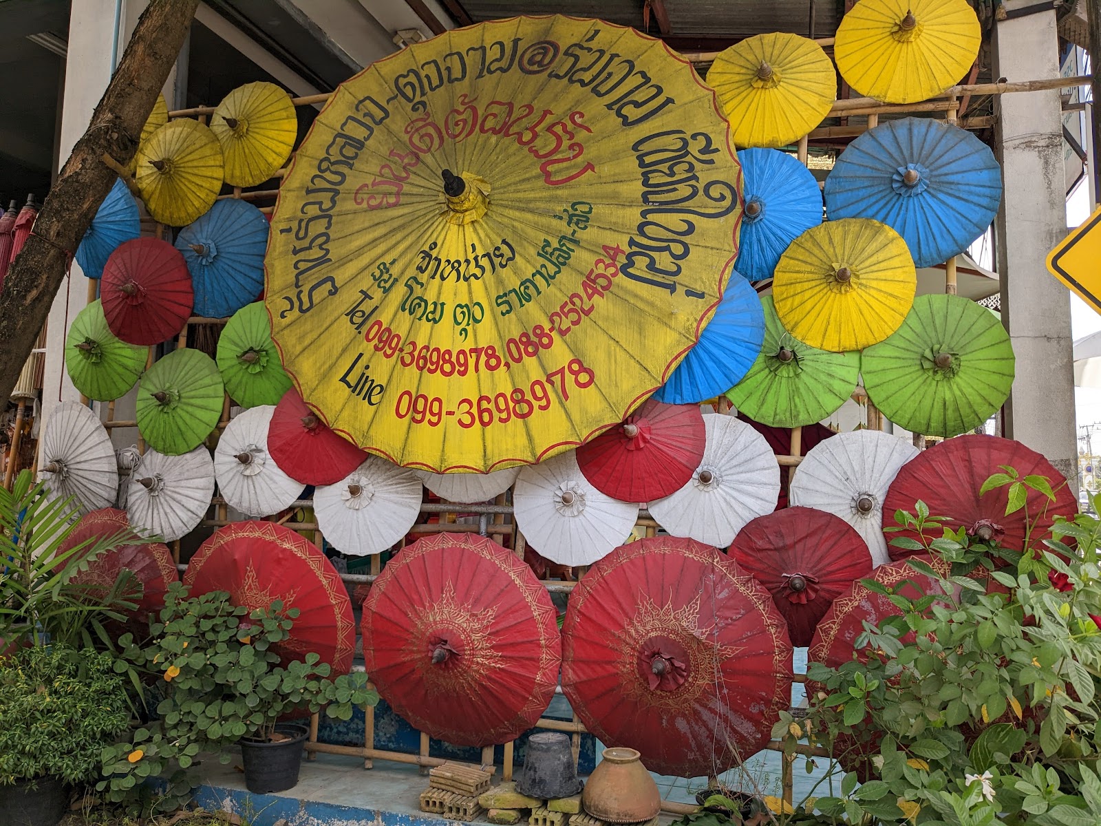
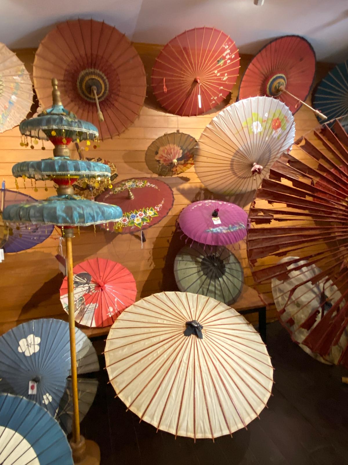
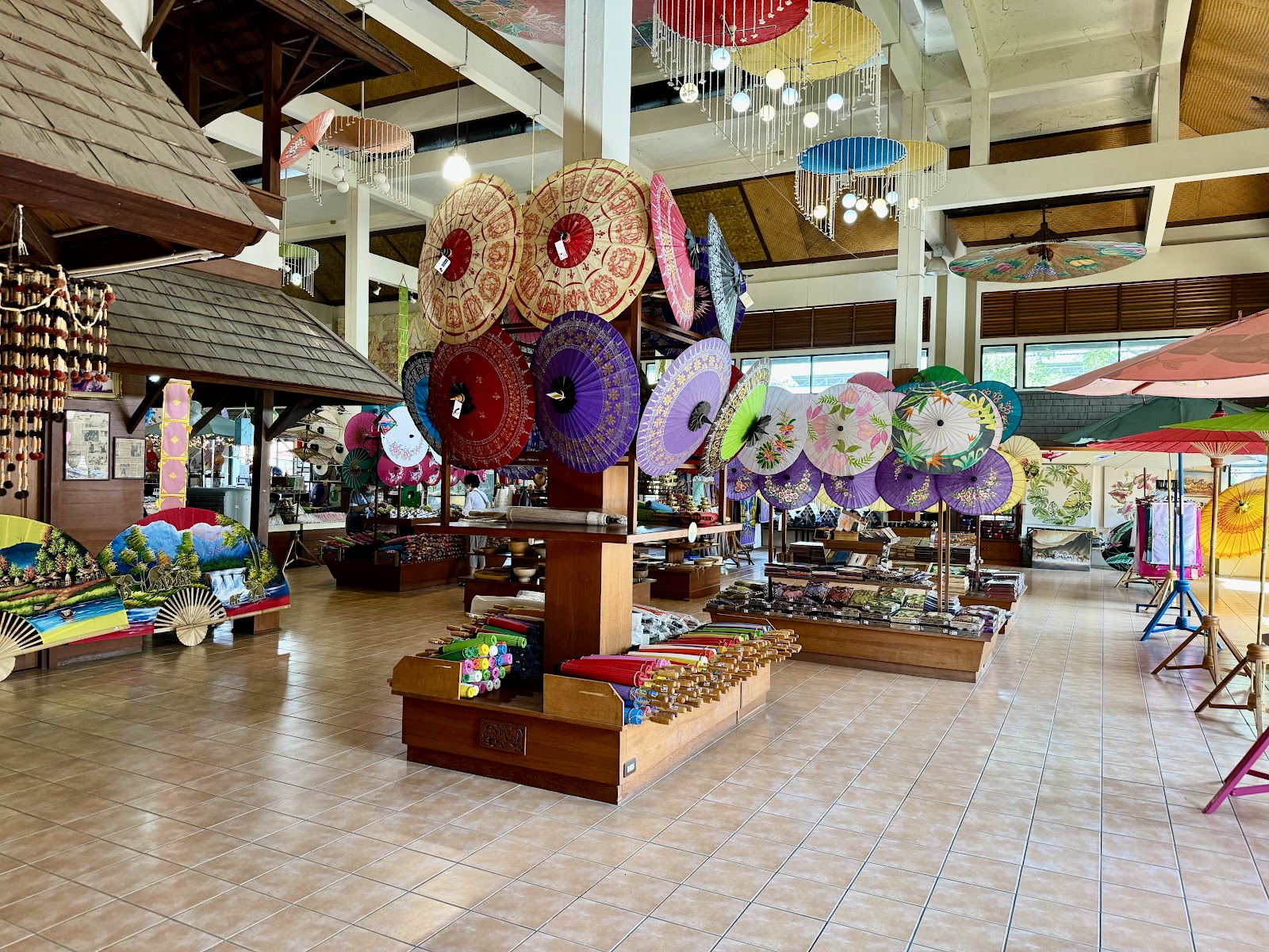
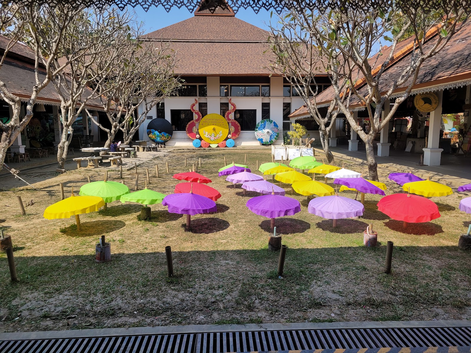
The other half of Kawila's craft resettlement, and the surviving one. Bo Sang has made saa-paper parasols for around two hundred years — the story runs that a monk brought the technique back from Burma — and San Kamphaeng has been a silk and cotton weaving district for as long. The road between them was Thailand's designated handicraft highway, and while much of it is now tour-bus showroom, the working village behind Bo Sang still paints by hand.
Who actually lives here
Craft families, weavers, and farming households, plus commuters using the new-ish road into the city. Very little foreign presence — the least expat-shaped area on this page.
Character
Ordinary northern Thai small-town life with an unusual amount of handwork going on in the back of it. The hot springs at the far end are a domestic-tourism institution: Thai families, geysers, and egg-boiling baskets, not a spa.
Downsides
The handicraft road's showroom stretch is a tour-bus operation and worth driving straight past. Far from work infrastructure. The hot springs are a 50-minute drive beyond Bo Sang again — further than the numbers here suggest.
Getting around: No. 34 minutes to the Old City, 26 to Nimman.
Nearest areas: Riverside 25m · Jed Yod 25m · Wua Lai 26m
For this family
Strongest match on the page for ‘the place locals go on holiday’ — San Kamphaeng Hot Springs is 4.4★ across 11,487 reviews and the crowd is domestic. Bo Sang umbrella painting is a cheap, genuine hands-on hour for both kids, and it is already logged at 37 minutes padded from Santitham. Note the hot springs are mineral, not chlorinated, which is a plus given Yali's skin. A day trip, not a base.